
Rose Ave. Rehabilita …
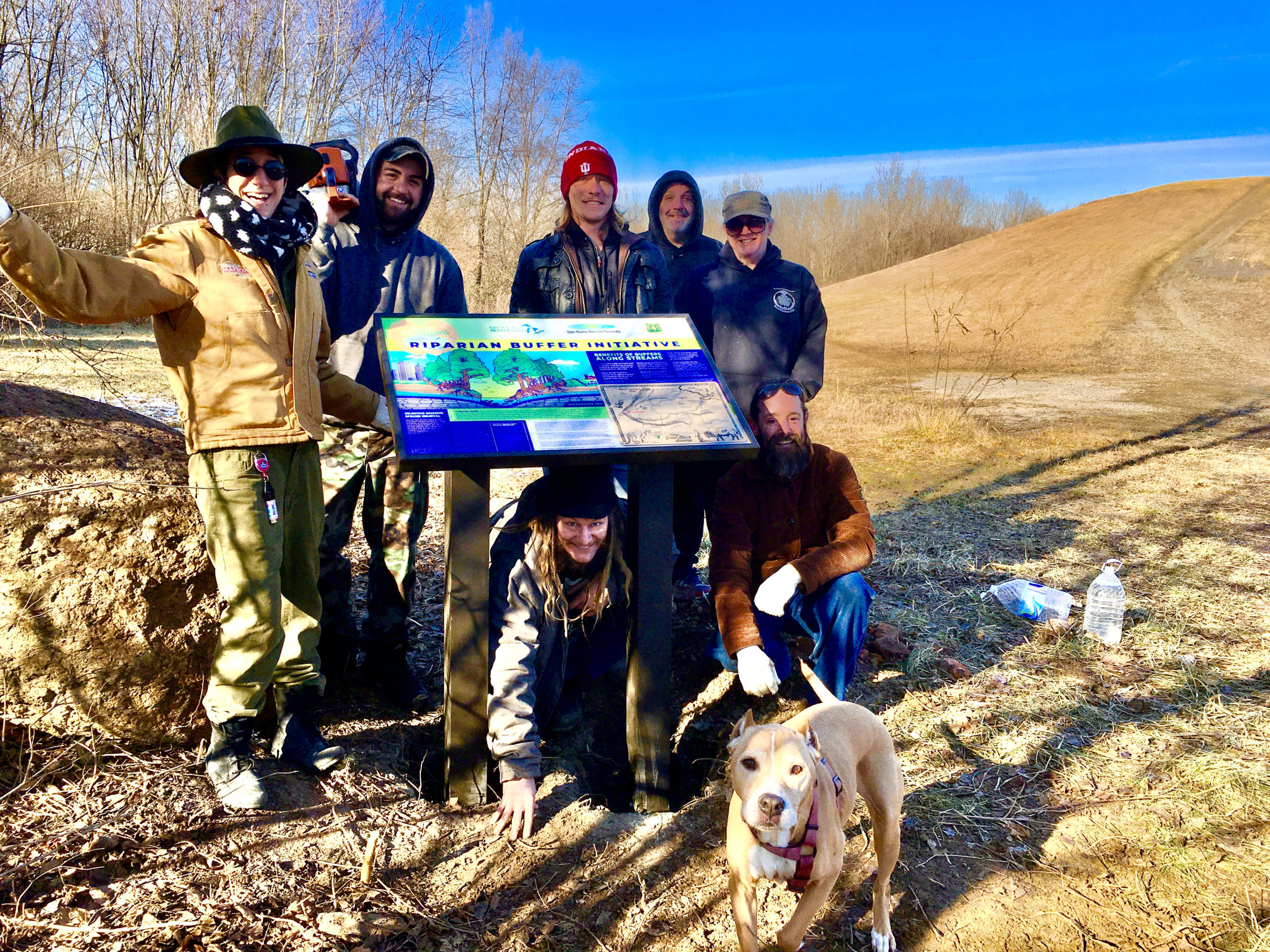
[vc_row][vc_column][vc_column_text] Save Maumee’s Work Site 2021 501 Rose Ave. New Haven, IN 46774 [/vc_column_text][vc_row_inner][vc_column_inner width="1/4"][vc_single_image…
0 Comments
Recent Comments